

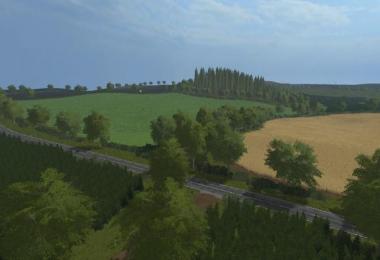
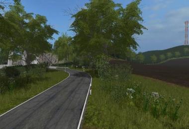
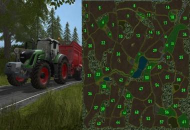
Welcome to the Mittelächsisches Loesshügelland north of the city of Meißen!
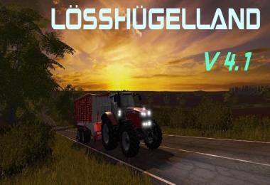
Version 4.1
- Errors in the dirt triggers of cows, sheep and pigs.
- Feed mixing plant for the pigs now produces pig feed.
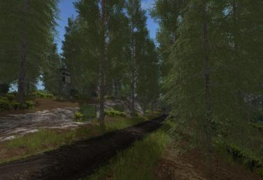
- A part of the 2D forests has been replaced by precipitable trees.
- Production lines revised: speed and quantity of raw materials adapted.
- Seed consumption adapted.
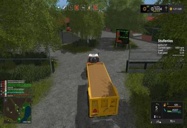
- fertilizer and seed storage inserted at the farm.
- flying cars removed.
- Particle system for rye and oat straw.
- Display boards worked on productions.
- The map is designed for Farmer Andy's Farming Tablet.
- Small changes to the decoration of the map.
In the last 10,000 years, a landscape characteristic of loess areas has developed through a variety of ablation processes. The hilly relief as well as the waters that cut deep into the landscape characterize the region and places special demands on the agricultural processing. However, the quality of the soils also allows for above-average yields.
Features of the map:
4 times the size
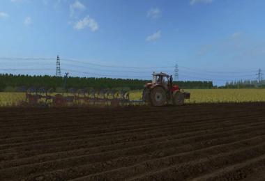
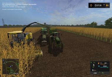
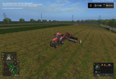
970 acres of field
122 acres of meadow
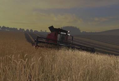
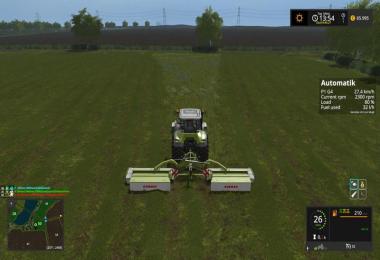
Additional fruits: rye, oats
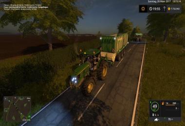
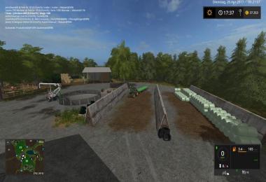
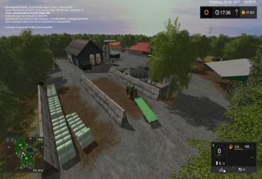
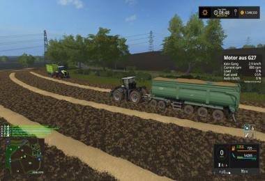
3 localities
14 Unloading / sales points
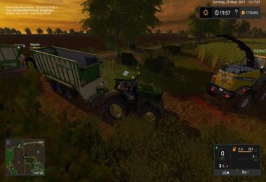
Cattle mast, dairy farm, sheep farm
Biogas plant with 2 keil silos
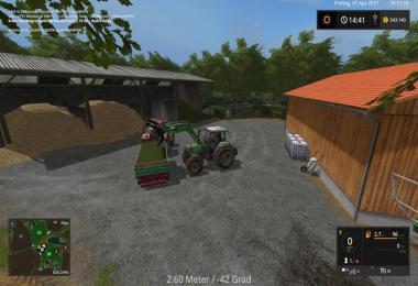
Economic cycles (including wood products)
Real income and growth times
...
Optional mods:
Chopped Straw
- 4 Likes
- 1 Comments
- 1259 Downloads
-
 0
Downloads in
0
Downloads in
-
 6 years ago


COMMENTS
absolut empfehlenswerte MAP. Danke dafür.....
Write a comment