

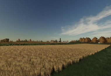
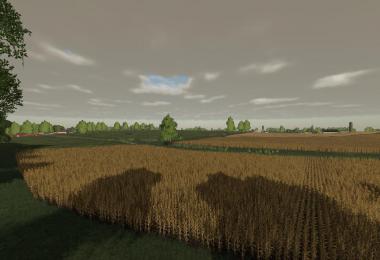
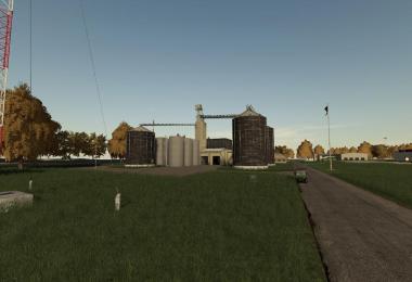
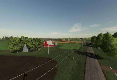
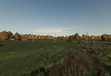
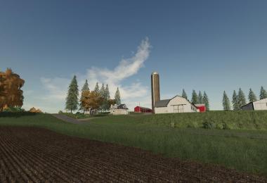
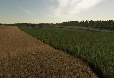
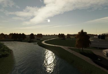
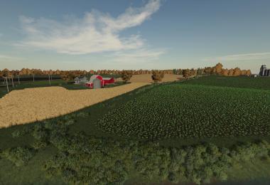
This is Columbia County, Wisconsin V1.
This is the dairyland state, so it has 2 fixed cow barns. It has the basic sell points, bales, wood, grain, and milk. Multi terrain angle. I have plenty of farms for you to use and for you to get creative with your own farming style. This map is ready for season for FS19. Please enjoy.
Facebook: https://www.facebook.com/Dairyland-Maps-373337633212420/
- 6 Likes
- 13 Comments
- 4596 Downloads
-
 1
Downloads in
1
Downloads in
-
 4 years ago


COMMENTS
une version avec trafic et piétons serait bienvenue
Great Map! No lag
this is the best map ever this is on top 2 farming maps
Nice map! Thanks for showing us around JD.
does it have a bga?
this map and dodge truck can some1 make for console
How did you come up with columbia county wisconsin??I was born and raised there ,The major town is Portage Wisconsin and County road P is the main road through the map with HiWay 51 and 16 branching off,Pruess implement is the major equipment dealer and is a case dealer.So far looks good ,Hopefully my info will help you in updates,Looking forward to them,Thank you for the map!!
How about a PDA screen shot?
@Reedb66
Wow! I must live in the wrong Columbia County, Wisconsin. State Highway 51 goes north/south through the county, State Hwy 22 also goes north from Hwy 51 at Arlington, State Hwy 33 goes east/west and State Hwy 16 goes NW to SE through the county joining with State Hwy 51 south of Portage along the Wisconsin River then split apart in Portage and ends at Wisconsin Dells. County Hwy P is not the main road through the county. County Hwy P starts at State Hwy 51 then goes east through Pa
scrapper You are correct,I havent lived there for close to 30 years now,I was just so suprised to see a map of the area that I didnt take into consideration my memories would be a bit off,I have thought about what I wrote and am glad you corrected me,If you look at a map I was raised on a farm just off of county hwy P just a few miles west of Pardeeville ,The name of the road is Wakayne road and it dead ends at my mom and dads old farm,Wakayne road is the combination of my mom and dads name Way
I live in Kenosha WI I am making a map of of were I live
Do a lake mills map. im from their.
I would love to see a map based just outside of Two Rivers WI
Write a comment