


I hope you like the stones!
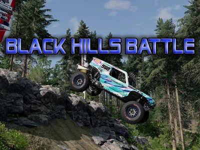
I can finally share what I've been working on for the last few months. After tinkering with importing lidar data from USFS satellites, I took some of the data from the Camp 5 road area in Black Hills, South Dakota for this map!
There are high-speed sections on the map, as well as quite difficult ones with rocks, trees and logs. A powerful, passable SUV is a must!
In version 1.6:
- The starting straight has been completely redesigned, now it is much smoother and less stressful, with several ledges, etc.;
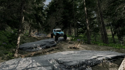
- More landscapes around the track have been added;
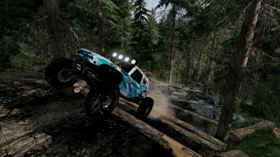
- Brand new rocky trail on the 2nd lap;
- Added a middle path at the end of the 2nd circle;
- Lots of small changes to improve the rest of the track.


COMMENTS
There are no any comments
Write a comment