

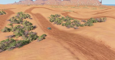
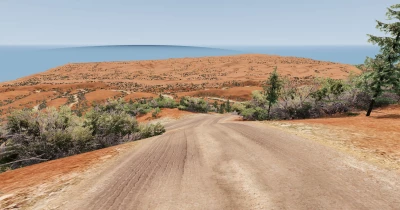
The map represents the “Coral Pink Sand Dunes” in southern Utah. The southern part of the dunes is characterized by some vegetation and steeper rocky hills to the east. In the center of the map is a closed loop race course based on one of the longer Texplex routes. The route is 11 kilometers long across all the dunes. There are dozens of kilometers of trails to explore in the mountainous terrain, which I organized to create a labyrinthine feel by making the paths longer than they actually look. All trails and paths are numbered, though I'm not sure the artificial intelligence can handle them all - it's just for ease of navigation.
Version 1.3.1:
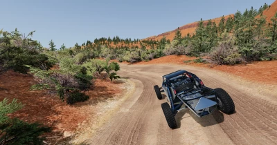
This update should fix the issue with trees not having textures, and update the models to use the original files instead of copies from the mod. This will reduce the file size a bit. It will also fix a few gems that could not be encountered. Overall, I think the new models greatly improve the quality of the map, especially in the mountainous area.


COMMENTS
There are no any comments
Write a comment