

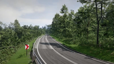
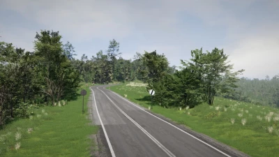
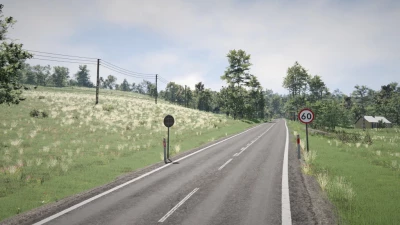
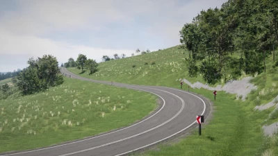
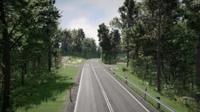
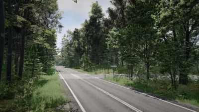
This map is based on a digital terrain model of National Highway 28 and the surrounding area between Tyrawa Voloska and Wujska in Subcarpathian Voivodeship, Poland, obtained using lidar with a resolution of 1 m.
The map is based on data on the situation for 2022-2024, as I visited this place during that period, and most of the links are based on street view and my notes.
It shows a 7-kilometer fragment of the mentioned road of national importance.
Initially, this map was created as a platform for testing the tools of the new world editor; however, over time it turned into a slightly more developed project. I plan to use this map as the basis for future similar and more detailed maps dedicated to Polish mountain roads.
Due to technical limitations, I was unable to include a larger rural area in the map, which was blocked. This is because I messed up the color space of the height map, which led to unrealistic height differences in this area, which would require redrawing the map from scratch. I decided it was better to release it in its current form than to abandon it.
Features:
- Mostly user resources
- Rally section with notes
- Time-racing mission
- Traffic support
- Basically an exact recreation of a real place
- The map uses a new asset system to reduce the size of the uploaded file


COMMENTS
There are no any comments
Write a comment