

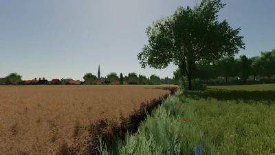
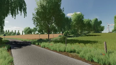
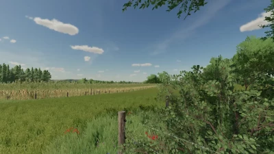
The Lower Rhine region takes place in the Kleve district, deep in the west of North Rhine-Westphalia. Here the country is very flat with many wind turbines.
Changelog of version 2.0.0:
- LogFile is now clean (no more Lua call stacks)
- Reduced the downloadable ZIP file to approx. 850mb
- Multifruit has been temporarily removed
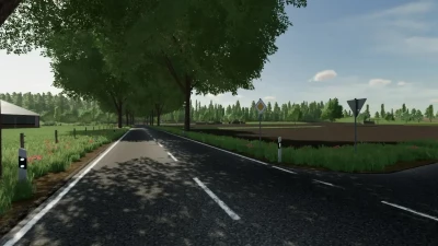
- Roundabout has been revised
- New PDA and new cover photo (A big thank you to BillyMais)
- BGA revised
- Raiffeisen grain mill revised
- Added missing objects
- Map boundaries revised and improved
- Traffic signs and bridges are collision-free
- No more floating objects
- Map is AutoDrive capable (BillyMais is still publishing the course)
- Initial fleet has been adjusted
- Wind turbines are now owned by third parties and no longer generate income
- ReadMe has now been inserted into the ZIP file, so it is no longer a RAR file
- various little things
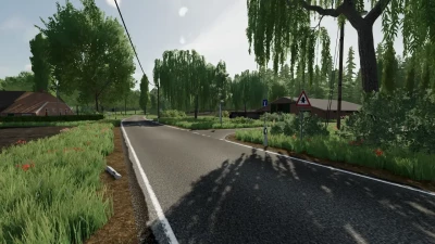
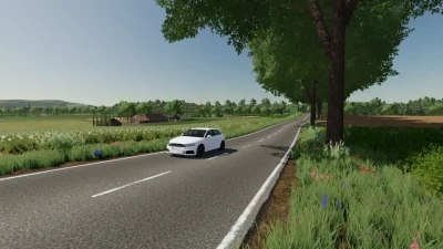
There are many farms on the map for cultivation and several unloading stations as well as two smaller villages.
The largest field is 8.7 hectares in size, which makes long processing possible and can also be easily managed with several players.
The individual farms are different sizes from each other. From small, older farms to modern dairy farms, everything is included on the map.
All further information about the map and copyright can be found in the attached ReadMe file in PDF format.
Now I wish you a lot of fun with my card and would like to thank everyone involved who always supported me with advice and support.
Kind regards
Niklas aka Fendt Vario 936
- 3 Likes
- 0 Comments
- 206 Downloads
-
 1
Downloads in
1
Downloads in
-
 1 year ago


COMMENTS
There are no any comments
Write a comment