

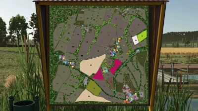
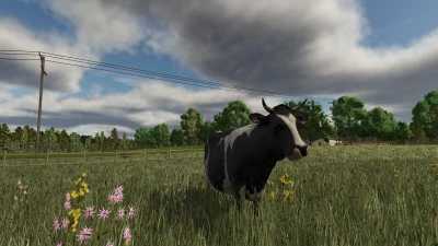
Welcome to the heart of Thuringia and the Rhön biosphere reserve!
Changelog v1.0.0.2:
- fixed vehicle mirror issue
This map is based on a real region near the Hessian border.
This project is still at the beginning and therefore the map will become more beautiful, better and more detailed in the future.
You are welcome to share any problems or ideas you find under the Github link https://github.com/dome23svw/ls_rhoendesign.git.
On the map you will find:
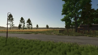
- 33 fields (between 1.7 and 14 ha)
- 44 meadows (between 0.2 and 6.5 ha)
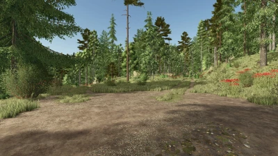
- 7 forest areas
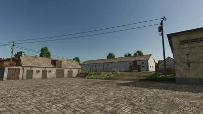
- 5 farms of different sizes
- approx. 18000 trees
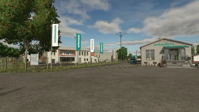
- various productions
- a single BGA, a smaller one on the Rhönagrar farm
- a large chicken farm
- an open-air garden
- well-developed helper roads
- Water can be taken from the ponds and the river
- Spruce trees can be built and planted
- Milking station at the main farm
- Irrigation system in the garden
- Basalt plant with open-cast mine and blasting facility
- Local car license plates
- NPCs to help you enter the map
- Companies have opening hours (gates open accordingly)
Have fun!
- 0 Likes
- 0 Comments
- 32 Downloads
-
 1
Downloads in
1
Downloads in
-
 2 months ago


COMMENTS
There are no any comments
Write a comment