The map is a Standalone Map on a 1:1 Scale
This map is not for the faint of heart it will take you 20 minutes to get to Fox from Fairbanks and 3 1/2 hours to get to Yukon River Camp.
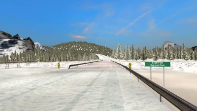
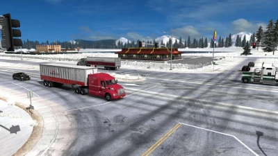
It takes about 2 hours or so just to get to the Dalton Highway from Fairbanks alone.
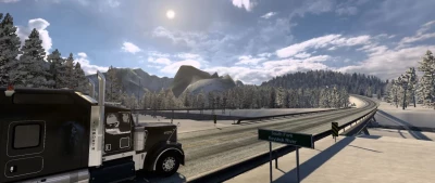
There are hills and corners that will make your jaw drop or wake you up.
This map has been mapped with google earth and elevations for every single node added to their correct heights for their respective locations via Google Maps Find Altitude.
Fixed alot of issues with speed limits around Prudhoe bay and Deadhorse with T-junctions and crossroads.
Fixed the texture on the paved sections of the Dalton Highway.
All paved sections should now have a frosty look again.
Fixed an issue with Special Transport at the Livengood Turnoff.
Moved the Police car back and fixed the traffic blockers.
Apparently there were some road rage incidents with ai trucks ramming the Police Cars.
Added Police support for the S.T. Jobs between Prudhoe and Fairbanks at Livengood turnoff.
Fixed a tree that was in sticking into the road just south of Marion Creek between Coldfoot and Wiseman.
Fixed some other minor issues.
Please delete any older versions of the mod before using this one.