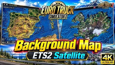


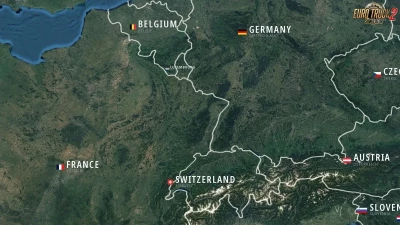
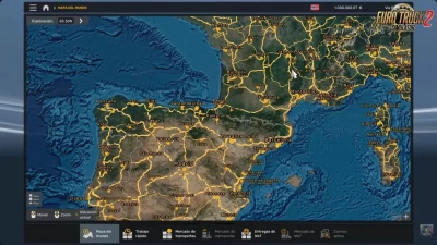
Real Sentinel-2 satellite imagery covering from Iceland to Turkey
Ocean areas rebuilt from GEBCO bathymetry with realistic seabed relief
Country flags + English name + local language name
Solid borders for countries, dashed lines for disputed borders
5 high-resolution textures (full map + 4 quadrants) – stays sharp when zoomed in
Background only – no changes to map layout, economy or gameplay
Enable only one map background mod at a time
Not compatible with ProMods or other map mods that change the map layout
Note:
The game renders the map UI semi-transparently, so roads may appear slightly dimmer on a darker satellite basemap.
Tested on ETS2 1.62.x
 Report file