

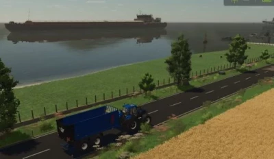
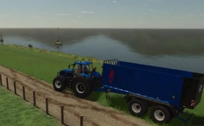
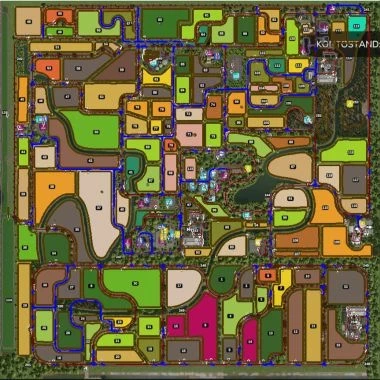
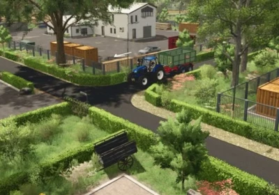
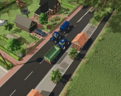
The course includes 2- and 1-lane paved roads, field paths with passing places, production and sales points, and BGA (commercial agricultural land use), 4 farmyards, water intake points, and field edge courses.
Version 1.0.2
The course had to be adjusted for some sales and production sites.
Thank you for your understanding.
Have fun with the :thumbs::crystal ball: map.
Two numbers have been assigned to each field.
e.g., Field 20 = Waiting point for harvesters.
Field 20 F = Directly in the field for bale collectors or similar.
Please note: Select the nearest field exit for harvesters.
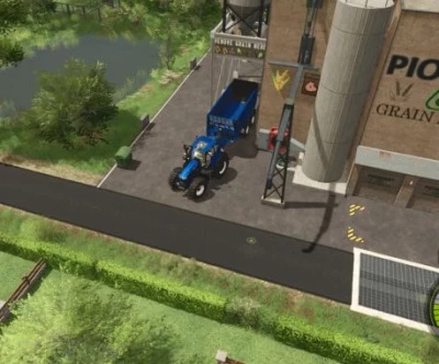
At BGA and silage silo, the unloading points have been combined for rolling unloading.
It is recommended to use a medium-sized vehicle.
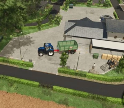
At some production and sales points, it is advisable to use a small tractor and trailer.
Have fun on this map.
Thanks to the mappers for their great work.
- 0 Likes
- 0 Comments
- 44 Downloads
-
 1
Downloads in
1
Downloads in
-
 6 months ago


COMMENTS
There are no any comments
Write a comment